Luya Mountain

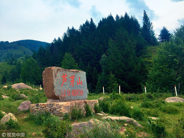
Luya Mountain in Ningwu county, Shanxi province [Photo/VCG]

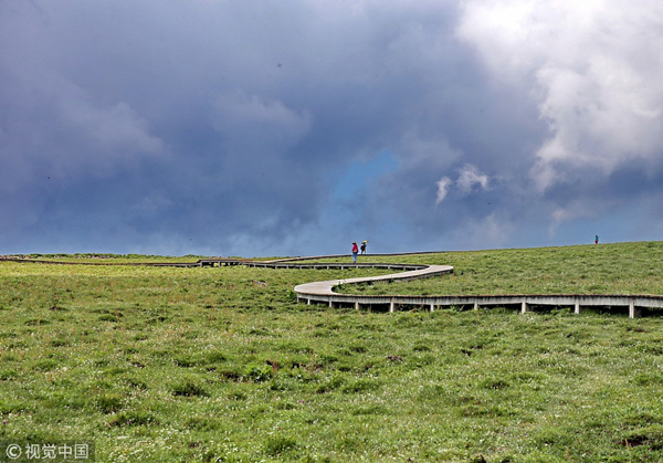
Grasslands on the top of the Luya Mountain [Photo/VCG]

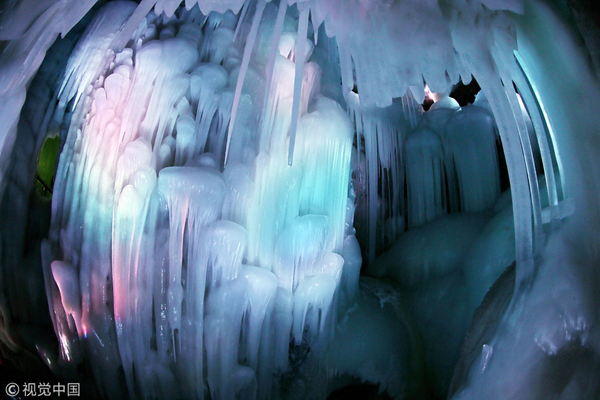
An ice cave in the Luya Mountain [Photo/VCG]
Luya Mountain, named due to its highest peak which looks like an asparagus shoot, is the main peak of Guanqin Mountain, which is located in the northern part of Shanxi province.
The mountain contains the source of Fen River and Shanggan River – the two major tributaries of the Yellow River. The highest peak is Heyeping at an elevation of 2,782 meters.
Luya Mountain is located at the transition zone between various ecosystems such as temperate grasslands, woodlands and shrublands, and also at the bio-geology crossing point of Inner Mongolia-Xinjiang region, the Loess Plateau, the North China plain and the Qinghai-Tibet area. Its geography and biodiversity are therefore complex.
The most amazing part of Luya Mountain is the ice cave at an elevation of 2,300 meters, which dates back to the fourth Ice Age more than 3 million years ago.
The cave has stalactites, stalagmites and ice walls and five levels connected by ice stairs, holes, and bridges, with each level able to hold dozens of people. At its widest it is more than 20 meters across and some 10 meters at its narrowest. There is also a dormant volcano just 200 meters from the cave, which the locals refer to as the "millennium volcano".
Besides the ice cave and the mountain, there are many other tourist spots in the area such as the Fen River Source Park.
Luya Mountain was listed as a national 4A tourist attraction in 2010.
Address: Ningwu county, Xinzhou city, Shanxi province
Tel: 0350-4785315


